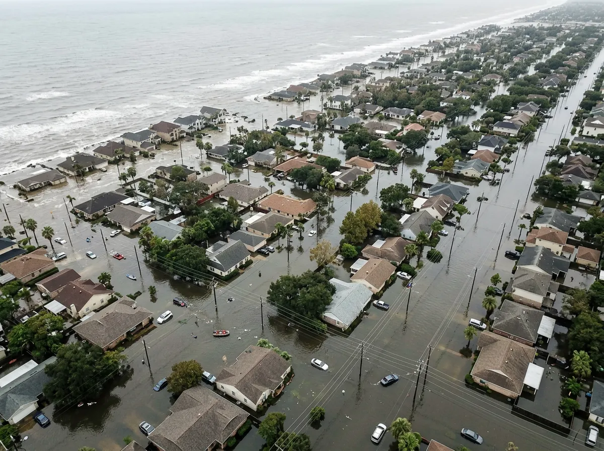
For decades, scientists have been warning that rising sea levels threaten coastal communities worldwide. It turns out those warnings were based on measurements that were consistently too low. A study published this week found that approximately 90% of scientific assessments and hazard models underestimated the baseline height of coastal waters by an average of one foot, or 30 centimeters. That single foot of miscalculation means the flooding threat is not arriving in some distant future. For millions of people, the danger zone is already where they live.
The implications are staggering. If global sea levels rise by just over three feet (one meter) by the end of the century, a projection that falls within the range of current IPCC scenarios, the corrected baseline means water could inundate up to 37% more land than previous models predicted. That translates to between 77 million and 132 million additional people living in areas vulnerable to regular coastal flooding, people who were previously considered safe by the models their governments relied upon for planning decisions.
Where the Measurements Went Wrong
The error is not a matter of faulty instruments or sloppy science. It stems from how baseline coastal water heights were historically measured. Most assessments relied on tide gauge data, which captures average water levels at specific points along the coast. But tide gauges are typically installed in harbors and protected inlets, locations chosen precisely because they are sheltered from the full force of ocean dynamics. The new research, which combined satellite altimetry data with ground-based measurements, found that open-coast water levels are consistently higher than what tide gauges in sheltered locations recorded.
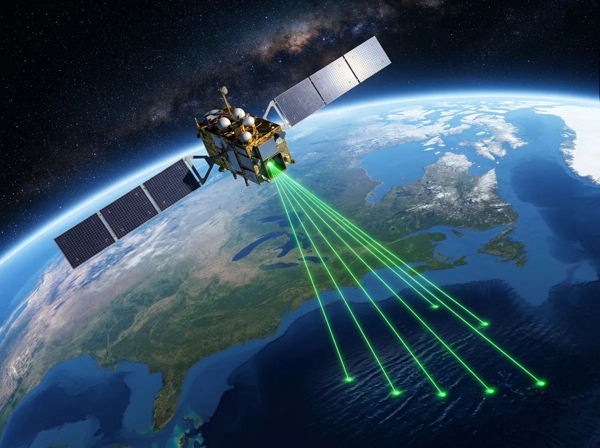
The space-based component of the research draws on NASA's ICESat-2 satellite, which uses laser pulses to measure surface elevation with centimeter-level precision. A February 2026 study using ICESat-2 data confirmed that oceans have risen approximately 90 millimeters since 1993, with the rate of rise more than doubling over that period, from roughly 2.1 millimeters per year in 1993 to approximately 4.5 millimeters per year by 2023. That acceleration alone would have been significant news. Combined with the baseline correction, it means coastal risk has been systematically underestimated on two fronts: the starting point was wrong, and the rate of change is faster than the already-alarming projections suggested.
The Cascading Error: How One Foot Rewrites Global Risk Maps
To understand why a 30-centimeter baseline error matters so much, consider how flood risk is calculated. Coastal planners use elevation models that identify how much land sits below a given water height. These models work on thin margins. In flat coastal regions, which include many of the world's most densely populated areas, a few inches of additional water height can push the flood boundary inland by hundreds of meters. In Bangladesh, parts of Vietnam's Mekong Delta, and low-lying Pacific island nations, one foot of additional baseline height is not a rounding error. It is the difference between a community that floods once a decade and one that floods every year.
The study identifies several categories of places most affected by the correction. Small island developing states, which have been at the center of climate adaptation debates for years, face an even more dire timeline than previously understood. Major river deltas, including the Ganges-Brahmaputra, the Mekong, and the Mississippi, all sit in the zone where the baseline correction has the largest effect. And wealthy nations are not exempt: portions of the US Eastern Seaboard, the Netherlands, and coastal Japan all fall within the revised risk zone.
What makes this finding particularly significant is its retroactive quality. Every coastal infrastructure project, every flood insurance rate map, every emergency evacuation plan developed using the old baseline is now working with outdated assumptions. The research does not just change projections about the future; it changes the assessment of current risk. Communities that believed they had decades before facing regular flooding may have far less time.
What Melting Ice Reveals About the Next Thirty Years
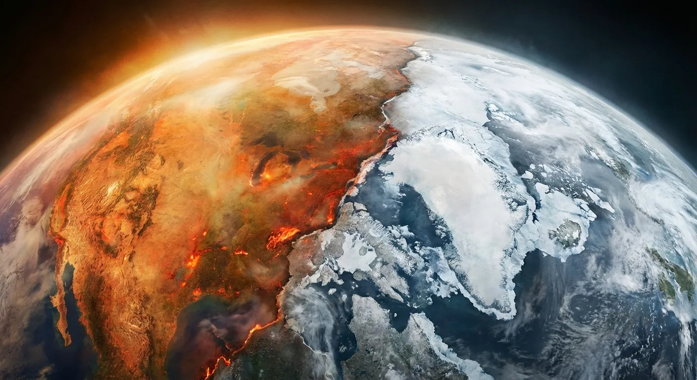
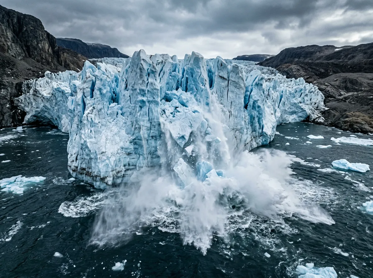
The research also clarifies the primary driver behind accelerating sea level rise, and it is not thermal expansion, which was long considered the dominant factor. Melting land ice, particularly from Greenland and mountain glaciers, is now the main force pushing oceans higher. This distinction matters because the two mechanisms have different trajectories. Thermal expansion responds relatively quickly to changes in global temperature: if emissions slow, expansion slows. Ice sheet dynamics operate on longer timescales with far more uncertainty, and several feedback loops can accelerate melt even if atmospheric warming pauses.
Previous research on Earth's carbon cycle has highlighted how interconnected these climate systems are, with changes in one domain cascading through others in ways that models struggle to capture. The sea level findings reinforce that pattern. The Greenland ice sheet lost mass at record rates in the summer of 2025, contributing to what the ICESat-2 researchers described as a "step function increase" in annual sea level contributions from land ice. If that phrase sounds alarming, it should: step functions, unlike gradual curves, imply that the system has crossed a threshold from which it is unlikely to return on human-relevant timescales.
The most concrete near-term implication involves coastal infrastructure already under construction or in the planning phase. The $50 billion global market for sea walls, storm surge barriers, and coastal reinforcement projects relies on projections that now appear to underestimate the challenge by a significant margin. Projects designed to protect against a three-foot rise by 2100 may actually need to withstand four feet or more, a difference that can require fundamentally different engineering approaches, not just taller walls.
Who Needs to Act First
The research team, writing in a peer-reviewed study covered by multiple outlets this week, was careful to distinguish between what is now known and what remains uncertain. The baseline correction of 30 centimeters is robust across multiple measurement methods. The acceleration in the rate of rise is well-documented. But the total amount of sea level rise by 2100 still depends on emissions trajectories, ice sheet dynamics, and other variables that carry wide uncertainty ranges.
What is not uncertain is the policy implication. Governments that set flood risk zones, insurance companies that price coastal policies, and developers who build in low-lying areas are all working with numbers that are now known to be too optimistic. The study's lead author told the Daily Press that the findings "should trigger an immediate reassessment of coastal hazard maps worldwide," noting that "we are not talking about future risk that might materialize under worst-case scenarios, but about current risk that already exists and has been systematically underestimated."
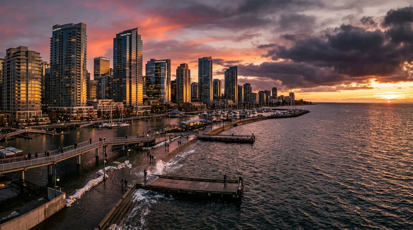
For the United States specifically, the implications are concentrated along the Gulf Coast and the Eastern Seaboard, where coastal populations have grown rapidly over the past two decades. FEMA's flood insurance rate maps, which determine premiums for the National Flood Insurance Program, are already under pressure from rising claims. The baseline correction suggests that the program's maps need updating not just for future projections but for present conditions, a process that is both technically complex and politically difficult because updated maps mean higher premiums for millions of homeowners.
The Takeaway
The research published this week does not change the physics of climate change. It changes what we know about where we stand relative to the danger. The one-foot baseline correction means the timeline for coastal risk is shorter than governments, insurers, and communities have been planning for. Specifically, the combination of corrected baselines and accelerating ice melt suggests that the three-foot threshold, previously projected for 2100 under moderate emissions scenarios, could arrive a decade or more earlier, potentially by 2085. Communities that planned for once-in-a-century flooding events by mid-century may experience them every few years.
The key metric to watch is how quickly national mapping agencies update their coastal hazard assessments in response to the new data. NOAA and FEMA in the United States, the Environment Agency in the UK, and equivalent bodies in vulnerable nations like Bangladesh, Vietnam, and the Netherlands will all face pressure to revise their models. How fast they act will determine whether the next generation of coastal infrastructure is built to withstand the ocean as it actually is, rather than the ocean as we mistakenly measured it.
Sources
- The Sea Is Higher Than We Thought and Millions More Are at Risk - OPB / Associated Press
- Space Lasers Reveal Oceans Rising Faster Than Ever - ScienceDaily
- The Rate of Global Sea Level Rise Doubled During the Past Three Decades - Nature Communications Earth & Environment
- Climate Change: Global Sea Level - NOAA Climate.gov